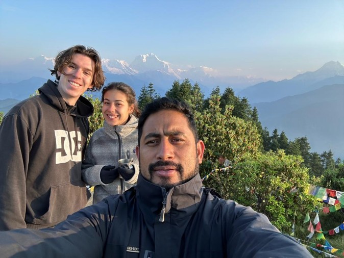
Thamel, Kathmandu, Nepal
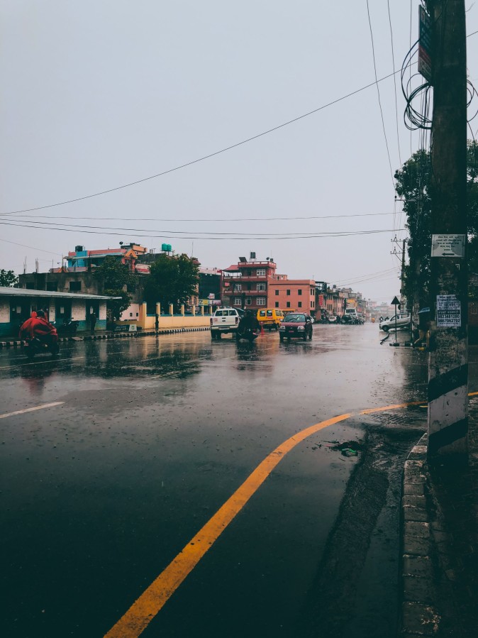
What's Happening in Nepal Right Now
Nepal is currently under a nationwide heavy rainfall warning. Nepal's Department of Hydrology and Meteorology (DHM) has forecast heavy to extremely heavy rain, thunderstorms, and strong winds from September 25 through September 27, 2026, driven by a low-pressure system over the Bay of Bengal interacting with the tail end of this year's monsoon. In response, authorities have suspended night-time transport in several districts, closed schools as a precaution, and the U.S. Embassy in Kathmandu issued a weather alert on September 24 advising against unnecessary long-distance travel and urging people to "reconsider trekking and high-altitude travel" through the weekend.
This spell is nationwide in warning scope but uneven in actual intensity — the hardest-hit provinces so far are Gandaki and Lumbini, with heavy rain also expected in parts of Koshi, Bagmati, Madhesh, Karnali, and Sudurpaschim. It is not a case of every part of the country receiving the same rainfall; some valleys can see serious downpours while a neighboring one stays largely dry.
It's also worth understanding the backdrop: this rain arrives only about a month after a separate and much larger disaster — the August 26 glacier-collapse flood on the Nepal–Tibet border that devastated Rasuwa district. That event is not the cause of this week's rain, but it means slopes, riverbanks, and roads in parts of central Nepal are already unstable, so additional rainfall this week carries more risk there than it normally would.
Why Is Nepal Getting This Rain?
Nepal is still within its monsoon-to-autumn transition window, when the southwest monsoon is withdrawing but hasn't fully cleared out yet. This year, that transition is being disrupted by a low-pressure system over the Bay of Bengal, which is pulling moist air northwest into Nepal's hills and Tarai. When this moist air hits Nepal's steep terrain, it's forced upward — cooling, condensing, and dumping rain, a process called orographic rainfall. That's why hilly districts, where air is pushed sharply upward, tend to see heavier rain than flatter Tarai areas even under the same weather system.
Note: This is a routine (if intense) late-monsoon weather event, not a climate-attribution story — DHM's own bulletins describe it in standard meteorological terms (monsoon trough position, low-pressure influence), and there's no official finding tying this specific spell to climate change.
Nepal's DHM has not yet published a consolidated rainfall-total report for this specific spell (it's still ongoing as of this writing). Rather than guess at numbers, use these official channels for live figures once available:
| Source | What it provides |
|---|---|
| DHM (Department of Hydrology and Meteorology) | 24-hour and multi-day rainfall bulletins, flood early warning |
| DHM toll-free hotline 1155 | Press 1 for weather forecast, press 2 for flood early warning |
| Nepal Tourism Board | Trekker-specific safety advisories |
| NDRRMA | Disaster response updates, evacuation notices |
Note: Current route-specific rainfall totals should be confirmed locally before departure — figures change daily during an active weather event like this one.
| Region | Current situation | Main reported hazards | Trekking relevance |
|---|---|---|---|
| Gandaki Province | Heavy to very heavy rain forecast Sept 25–27 | Landslide risk on hill roads, flooding | Covers Annapurna, Manaslu, Mustang gateways |
| Lumbini Province | Heavy to very heavy rain forecast | Flash flooding in Tarai, road disruption | Gateway routes to Dhaulagiri, some Annapurna access |
| Koshi, Bagmati, Madhesh, Sudurpaschim | Heavy rain, thunderstorms | Localized flooding, landslides | Bagmati covers Kathmandu Valley, Langtang gateway; Koshi covers Everest/Kanchenjunga gateways |
| Karnali | Heavy rain in hilly areas | Landslide-prone terrain | Dolpo access routes |
| Rasuwa district specifically | Still recovering from the Aug 26 flood; extra caution advised | Elevated landslide/instability risk on saturated slopes | Langtang, Gosaikunda, Tamang Heritage access |
Note: The Meteorological Forecasting Division has specifically urged people already in mountainous areas for trekking to return to safer locations, and asked those planning trips to postpone them until the spell passes — that's a notably direct instruction, not routine boilerplate.
This week's disruption isn't limited to trekking trails — it's visible in everyday Nepali life:
Note: None of this means the country has shut down — it means normal precautionary measures are active, the kind Nepal uses regularly during intense monsoon spells.
Heavy rainfall → saturated soil → unstable slopes → landslides and rockfall → damaged trails and bridges → road disruption → transportation delays → itinerary changes.
Practically, this can show up as:
Note: Importantly, these hazards can persist after the rain itself stops — saturated slopes remain unstable for days, and landslide risk often peaks a day or two after the heaviest rain, not during it.
| Trekking Region | Current Situation | Main Concern This Week | Access Concern | What to Check |
|---|---|---|---|---|
| Everest (Khumbu) | Operating; within warned zone for Koshi/Bagmati rain | Trail wetness at lower elevations, possible Lukla flight delays | Lukla/Ramechhap flight status | Airline status, guide update |
| Annapurna (Base Camp, Circuit, Poon Hill) | Operating; Gandaki is in the heaviest- rain zone this spell | Landslide risk on approach roads, trail mud | Pokhara–trailhead roads | Local road status, operator advisory |
| Mardi Himal | Operating; same Gandaki exposure as Annapurna | Trail mud, river-crossing conditions | Pokhara-area access roads | Local trail update before departure |
| Langtang / Gosaikunda / Tamang Heritage | Access constrained | Elevated landslide risk on already-damaged slopes from the August flood | Syabrubesi road access, still affected since the Aug 26 disaster | Direct operator confirmation — do not assume normal access |
| Manaslu | Operating, watch approach roads | Rain-related road risk on the Dhading approach | Access-road conditions | Operator confirmation on road-head transport |
| Kanchenjunga | Within Koshi's warned zone | Remote-area landslide/river-crossing risk | Taplejung access roads | Local advisory, since remote rescue access is limited |
| Upper Mustang | Rain-shadow effect typically limits impact | Generally lower rainfall exposure | Lower Mustang/Jomsom approach may see more rain | Jomsom flight and road status |
| Lower Mustang | Within Gandaki's warned zone | Road landslide risk | Beni–Jomsom road | Local road updates |
| Dolpo | Within Karnali's warned zone | Remote trail and river-crossing risk | Limited road access generally | Operator/local confirmation |
A note on Langtang specifically: even setting aside this week's rain, Langtang-area access has not fully normalized since the August 26 disaster. If you have a Langtang, Gosaikunda, or Tamang Heritage trip planned in the near term, this week's rain is a secondary concern — confirm current road access with your operator first.
Note: For any region not listed above, current route-specific information should be confirmed locally before departure.
Rain in Kathmandu or Pokhara does not tell you what's happening at altitude:
Note: A wet, grey day in Pokhara doesn't necessarily mean the same conditions at Annapurna Base Camp or on Thorong La — but it doesn't guarantee clear skies up there either. Check region-specific forecasts, not just the city forecast.
A trekking trail can be perfectly walkable while the road that gets you to the trailhead is blocked. This distinction matters a lot right now:
Note: Only treat a route as actually closed when your operator or an official source confirms it — don't assume based on rain alone.
A realistic, non-alarmist answer:
Note: The Meteorological Forecasting Division's advice this week has been unusually direct: those already trekking should move to safer ground, and those planning to start should consider postponing until the spell passes on September 27–28.
Note: If you see any of these: stop, move away from the hazard, and get guidance from your guide or local authorities before continuing.
Before leaving Kathmandu or Pokhara:
Pack for wet conditions:
Note: Your itinerary is not worth more than your safety — this is the one place where flexibility should always win.
That's a personal call, but base it on documented factors rather than general worry:
Note: For most routes outside the currently constrained Langtang corridor, a short postponement of a few days — waiting out this week's spell — is often enough rather than a full cancellation.
As the spell clears (forecast through September 27, with conditions expected to ease into the following week), expect:
Note: Not every region recovers at the same pace — road clearance in well-serviced corridors (Kathmandu–Pokhara) is usually much faster than in remote areas.
Q. Is it safe to trek in Nepal right now?
➤ Most major routes are operating normally. This week's heavy rain warning (Sept 25–27) calls for extra caution and flexibility rather than cancellation, except in the Langtang corridor, where access is still constrained independent of this week's rain.
Q. Why is Nepal getting heavy rain right now?
➤ A Bay of Bengal low-pressure system is interacting with the tail end of the monsoon, bringing heavy rain especially to Gandaki and Lumbini provinces.
Q. Is Everest Base Camp affected?
➤ The route is operating; the main risk is Lukla flight delays from rain and low cloud, not trail closure.
Q. Is the Annapurna region affected?
➤ Gandaki province, which covers Annapurna, is in the heaviest-rain zone this week — expect muddy trails and possible road-landslide delays on approach roads, but the route is open.
Q. Is Langtang currently trekkable?
➤ Access has been constrained since the August 26 flood damaged the Syabrubesi road. Confirm current status directly with your operator before planning a Langtang trip.
Q. Can landslides happen after the rain stops?
➤ Yes — saturated slopes can remain unstable for days after rainfall ends, so don't assume conditions are back to normal the moment the sky clears.
Q. Where can I check Nepal's latest weather information?
➤ DHM (hotline 1155) and the Nepal Tourism Board are the primary official sources.
Nepal's current rainfall is a real, active weather warning — not blanket bad news for every trekking route in the country. Gandaki and Lumbini provinces are seeing the heaviest rain this week, transportation and schools have been affected as a precaution, and Langtang-area access remains a separate, ongoing issue from August's disaster. For everywhere else, the sensible approach is the same one Nepal's own tourism authorities are recommending: check current, route-specific conditions immediately before departure, build in buffer days, and stay in close contact with your guide or operator rather than relying on a static online source.
Contact Orbit Nepal Adventure today for customized itineraries for easier and adventurous trek and for regular updates about the trek trails.
📲 Contact us directly on WhatsApp: Chat with us on WhatsApp
🌐 Visit: orbitnepaladv.com
📧 Email: orbitnepaladv@gmail.com
💬 Whatshapp: 977-9841766021